
GROUND CONDITIONS
With the existing and future risk, both experienced and predicted at the Riverside site, the proposed development will need to be designed in a way to mitigate risks to those on site and third parties, whilst also ensuring safe access and egress for users.
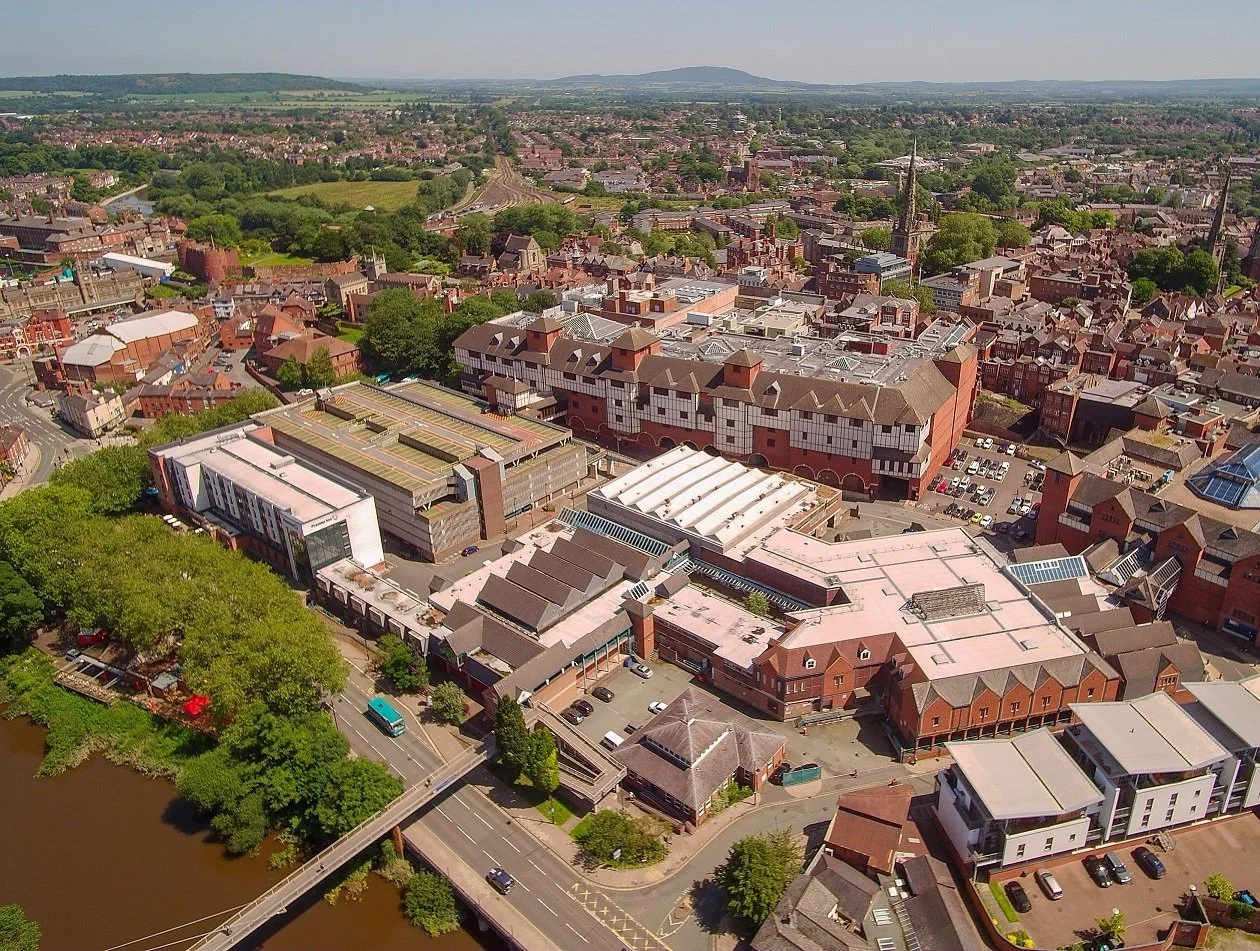
The site’s ground level sits at +51.5m next to Smithfield Road, and rises to approx +52.5m at the corner of Roushill and Raven Meadows. Frankwell Footbridge lands at a level of +58.0m. This disparity in levels constitutes one of the site’s major challenges in the creation of an accessible and inclusive public realm. .
A key element of the preparatory work utilising Levelling Up Funding (LUF) has been to enable the site for future development in subsequent phases.
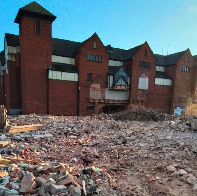
As described in the sections on history of the site and the story so far this regeneration area has had multiple lives and is the ultimate definition of a ‘brownfield’ site. Yet there is more than simply a ‘brownfield’ site beneath the ground!
Given the proximity to the historic, original Town Walls still visible from the ‘Gap Site’ site currently operating as a car park, considerations have had to be made across the Phase 1 area for archaeology assessments which have now been completed.
The site’s main asset is its position right next to the River Severn, with views northwest towards Welsh Bridge. The site’s closeness to the river is also its greatest constraint – the River Severn is notorious for flooding the area in extreme weather events.
Riverside Gardens is a key step forward reflecting an innovative, solution-driven response to the ground conditions.
With all of these current ground conditions identified ahead of development and rectified as far as possible, with the grant funding available, the commercial opportunities available across the site can become more attractive to developers.